Tolls by plate: mapping, monthly reporting and real-time webhooks
An operation asked MyKeego to map every toll booth its fleet passes through, with a monthly per-plate crossing report and real-time webhooks, using an in-house database of Argentina's toll booths to reconcile against the toll concessionaires' invoices.
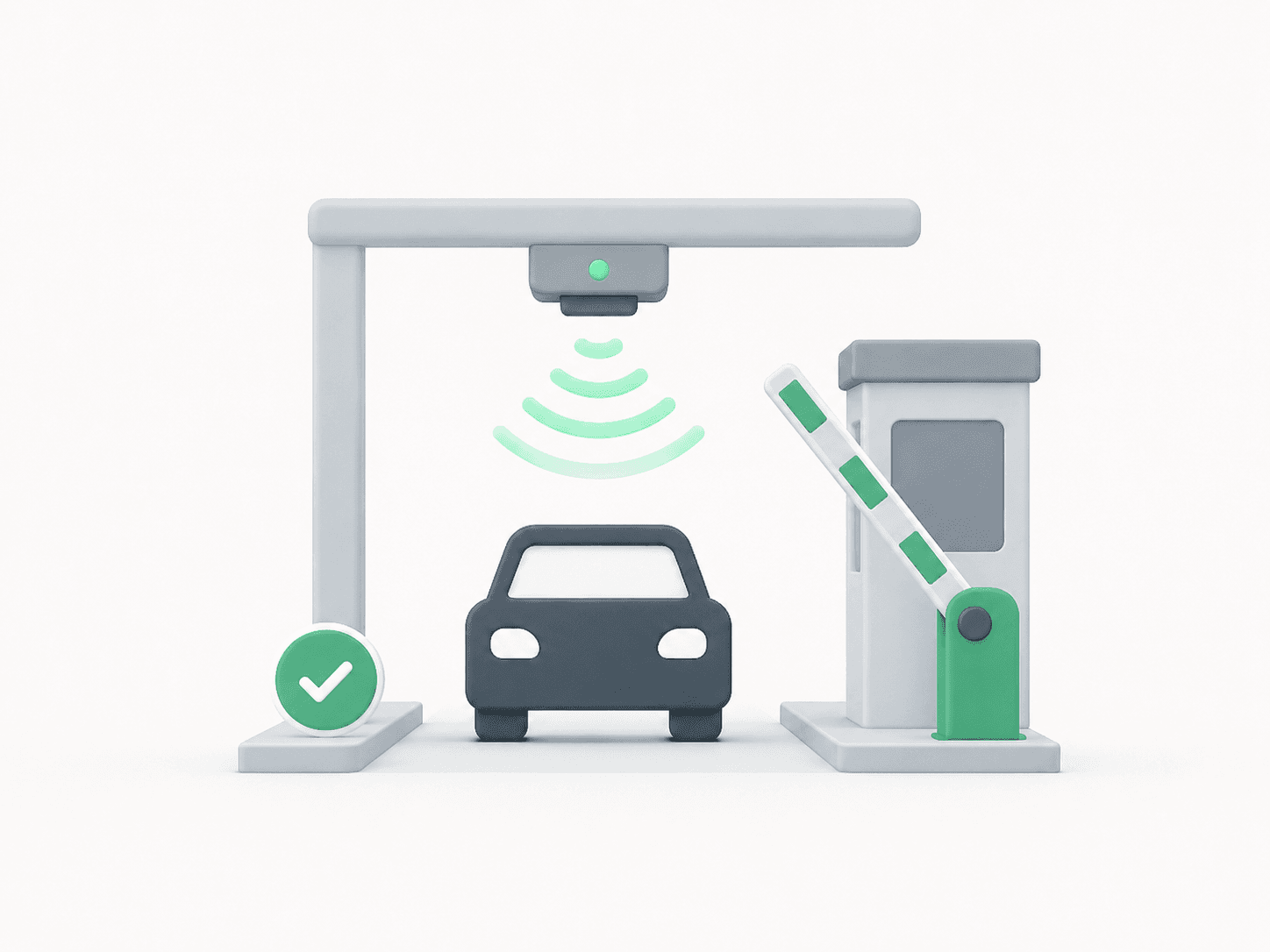
Results
- Toll booths mapped as geofences, on top of an in-house database of Argentina's toll booths
- Real-time event per crossing — plate, booth, concessionaire, exact date and time — pushed via webhook through the connector's API
- Monthly per-plate crossing report, ready to reconcile against the concessionaires' invoices
- Built on existing platform building blocks: Geofences, Workflows and the API — no extra hardware or integration
Stop relying on the concessionaire's invoice as the only record: build your own, crossing by crossing, plate by plate, timestamped down to the second.
The challenge
A fleet that runs toll roads gets a monthly invoice from each concessionaire. The problem is that invoice is the only source of truth: if there's a reading error, a duplicate charge, or a plate mismatched to the wrong vehicle, the operator has no independent way to catch it. At best, they find out at month-end — too late to dispute in time, and with no data of their own to back up the claim.
The MyKeego solution
This didn't require inventing a new feature — it was assembled from pieces that already exist on the platform.
- Geofences over an in-house toll database: MyKeego maintains a database with the location of Argentina's toll booths and their concessionaire, and maps each one as a geofence — the same tool already used to define zones with entry/exit alerts per vehicle.
- Workflows: a rule fires the moment a vehicle enters a toll booth's geofence, logging the event: plate, booth, concessionaire, date, time and coordinates. That's exactly what Workflows is built for — turning any signal the vehicle can sense (in this case, GPS) into an actionable rule.
- Webhook via API: that same event is pushed in real time to the operator's own systems, through the connector's API layer that already links MyKeego to third-party systems. No need to wait for a report to find out about a crossing — the operator gets it as it happens.
- Monthly per-plate report: at month-end, every crossing is aggregated by plate, ready to be checked against each concessionaire's invoice to catch any discrepancy.
From a crossing to a report
Every toll crossing is logged with:
- The vehicle's plate.
- The booth and its concessionaire.
- Exact date and time.
- The coordinates of the crossing point.
That individual event is what arrives via webhook in real time, and it's also what gets aggregated, plate by plate, into the monthly report. This is a case about how the solution was assembled from platform building blocks, not a field measurement — there's no "savings" figure to report, just an independent, complete, verifiable record where before there was only a third party's invoice.
More than a toll report
The same combination — geofence plus Workflow plus webhook — works for any zone an operation needs to track: access points into an oilfield, entry and exit at a warehouse, or any geographic point relevant to the business. Tolls were the first use case, but the architecture is generic: it's configured zone by zone, based on whatever each operation needs to trace.